


Visualising the Social through Digital Art Practice
Terra Incognita
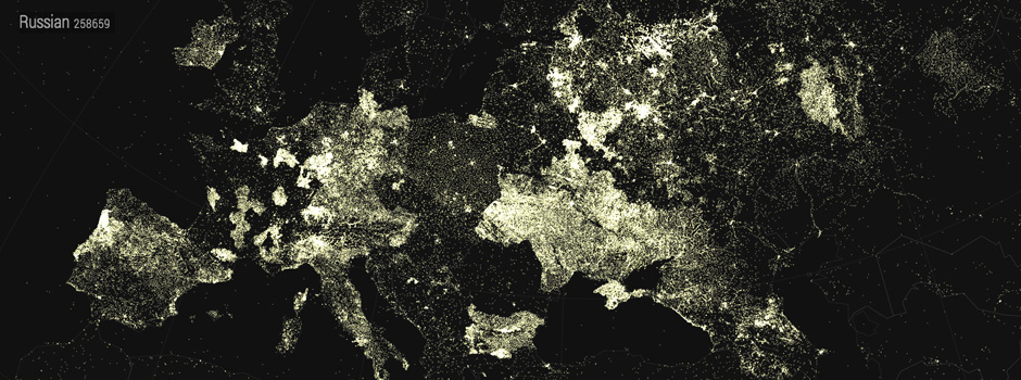
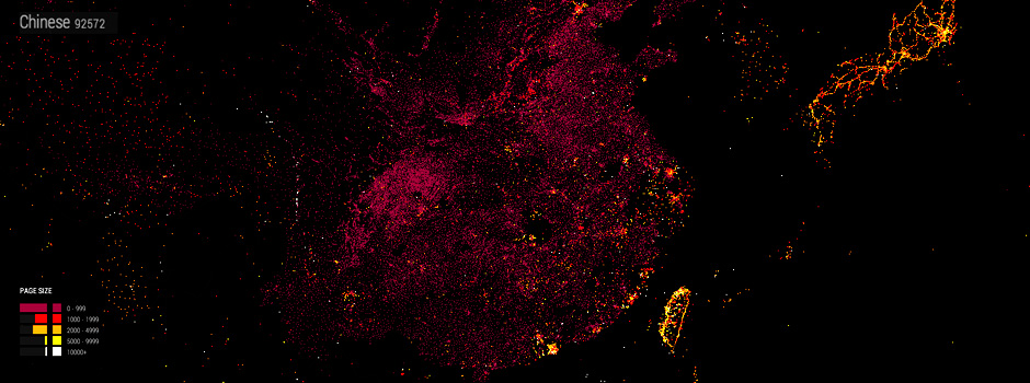
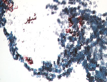
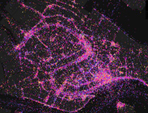
Terra Incognita visualises how Wikipedia has evolved over the last decade, mapping the geographic articles for over 50 languages. The maps highlight cultural biases, unexpected areas of focus, the overlaps between languages, and regions that are unique to a language.
There are two versions of the project, one based on Google Maps that is particularly good for browsing Wikipedia articles at a country level, the other based on Kartograph that enables you to see how the articles are structured with a variety of world map projections.
Terra Incognita has been supported by the Arts Council.
![]()
Visit the Terra Incognita website →
Lost Change
Lost Change displays the publics finds from the British Museum’s Portable Antiquities Scheme
Luminous Cities
Luminous Cities explores how urban landscapes are described by traces left by social media.