Visualising the Social through Digital Art Practice
Lost Change
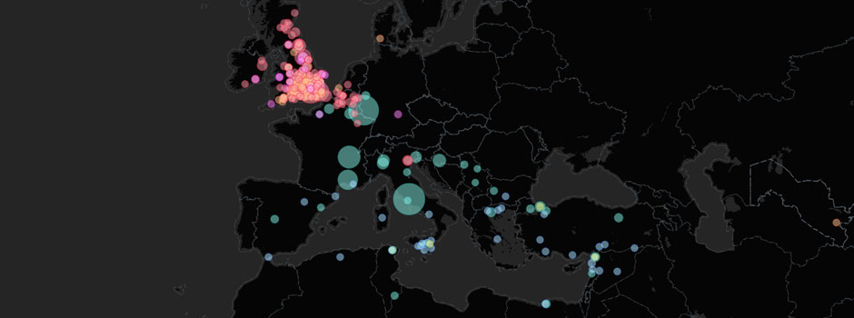
Lost Change displays the geo-located coins and mints of the British Museum’s Portable Antiquities Scheme. These coins have been found by members of the public in England and Wales and recorded by PAS staff.
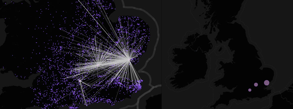
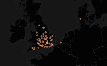
The coins are displayed on the map on the left, the mints where they originate to the right. The size of the mint circles is proportional to the number of associated coins recorded by the scheme, with a minimum size for mints with low numbers of coins so that the mint is still clickable.
The ‘Map’ drop-down displays various aspects of the coin histories:
- Period – coins are coloured by period, useful when all periods are selected
- Date – the date range reflects the period selected. Coins are coloured by their earliest estimated date
- Material – coins displayed by metal type
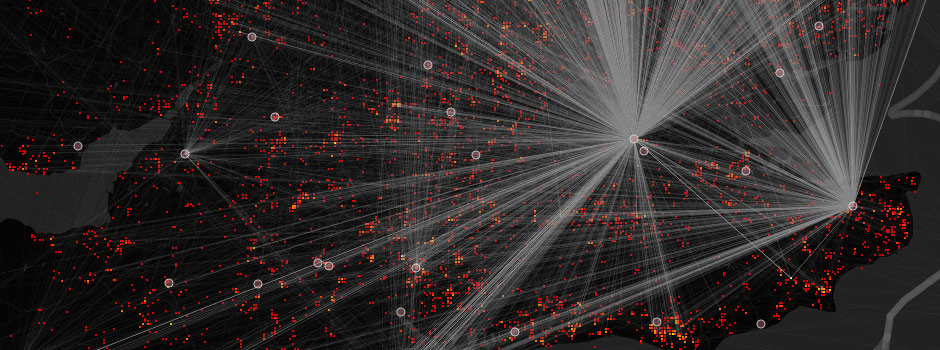
- Heatmap (colour) – shows the number of coins in each four figure National Grid Reference
- Heatmap (tone) – as above using a tonal scale
The coins are displayed by their numismatic period. These are Iron Age, Greek & Roman Provincial, Roman, Byzantine, Early Medieval, Medieval & Post Medieval.
The maps only show the coins from PAS for which the find location is known. If you click through the numismatic periods you will see how the distribution of mints radically changes, reflecting the changing orbits and extents of political and cultural influence. Not all coins in the PAS database have known mints. Some find locations are protected and other coin find locations are unknown. These coins don’t appear on the map.
The distribution of coins is biased by a number of factors:
- Whether the location is publicly available or protected
- Whether metal detecting is permitted by the landowner (e.g. Cornwall), or the topography makes detecting difficult
- Soil Type, for example areas with lime rich soils coincide with intensity of find locations
- Whether there is an active community of metal detecting enthusiasts
- Land Use – in urban areas that are heavily built over, there isn’t much opportunity to use metal detectors, e.g. London
- The majority of finds are located towards southern and eastern areas parts that have closer proximity with mainland Europe
Thanks to Daniel Pett at the British Museum, Creativeworks London for funding the project, and to all the contributors to PAS.

