Visualising the Social through Digital Art Practice
Space Syntax – Google Earth Visualisations
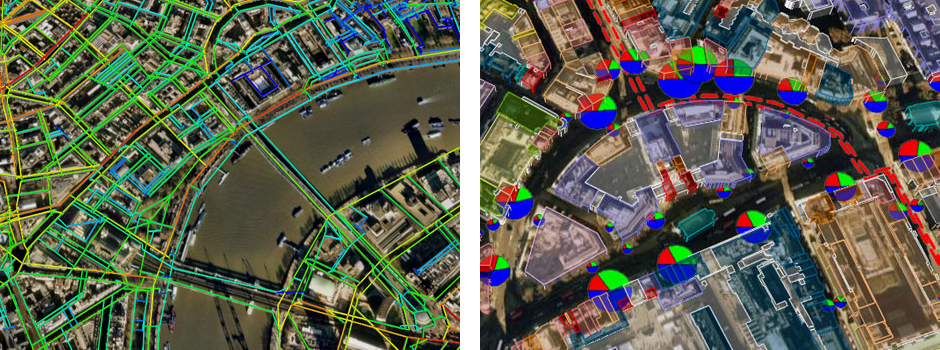
Our work with Space Syntax researched methods of displaying spatial analysis maps as interactive 3D visualisations. We developed software that converted GIS data into the rich visual language of KML, the format used by Google Earth. Information about pedestrian flow, land use, and building frontages could be displayed as a navigable environment.
Images copyright © Space Syntax


