


Visualising the Social through Digital Art Practice
Luminous Cities
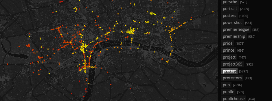
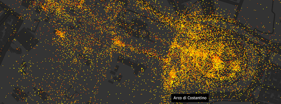
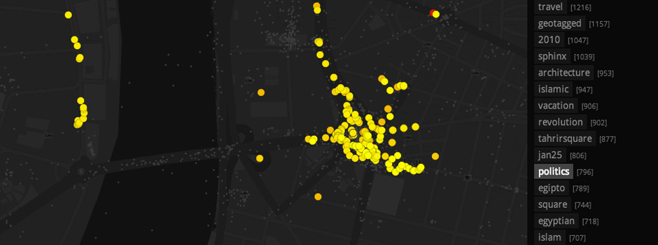
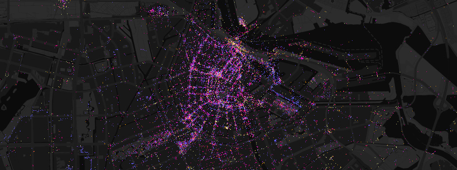
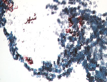
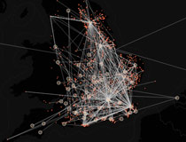
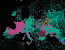
Luminous Cities explores how urban landscapes are described by the accumulation of traces left by social media. Focusing on geo-coded photos from platforms such as Flickr, Instagram and Twitter we can build up a picture of how the myriad of individual contributions form contrasting visions of a city’s life, it’s history, and significant events.
The archives of user content provide a rich source of social and cultural data. Filtering this data by the associated tags and textual content enables us to map the city’s diverse spatial phenomena: the ebb and flow of protests, festivals and sporting events; responses to tourist and cultural attractions; the form of sightlines to landmarks; the pattern of wanderings for individual users. (The full complexity of spatial structures described by the content can be explored by experimenting with the maps).
Due to the variations in social media usage around the world, cities have significantly different densities of coverage and user demographics. To draw comparisons we have chosen a cross section of cities under the categories Megacities, Europe and Americas. The greatest contrasts can be seen within Megacities, some of which are almost entirely populated by tourist photos.
The project is supported by the TALISMAN User Fellowship scheme, based in the Centre for Spatial Analysis & Policy (CSAP) at the University of Leeds and the Centre for Advanced Spatial Analysis (CASA) at University College London.
Visit the Luminous Cities website →
Lost Change
Lost Change displays the publics finds from the British Museum’s Portable Antiquities Scheme
Terra Incognita
Visualising Wikipedias evolution, mapping the geographic articles for over 50 languages.